Verify Drops
Did the material go up? Where, and when?
TraceReach runs the whole loop: mark where the material should go, log the drop when it goes up, keep the proof, and read the response before you plan the next run. This page follows one drop around that loop.
“Where should this run go?”
Spots: plan it, assign it
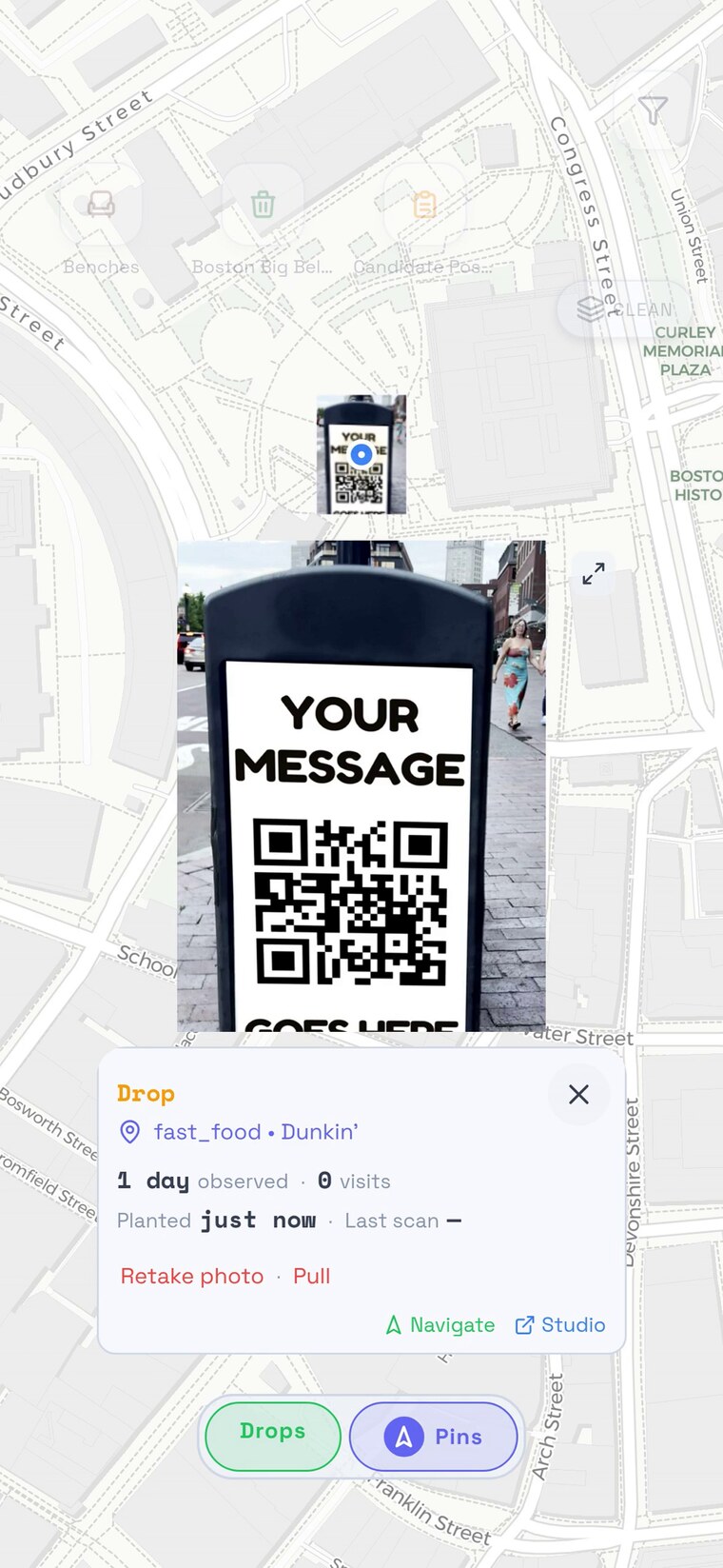
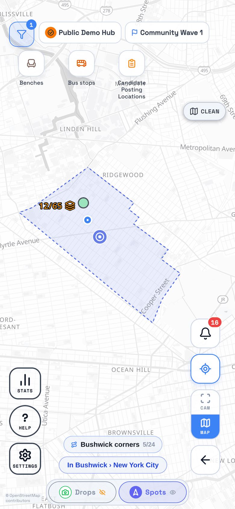
Add a spot on the map, name it, and assign it from the hub, from a crew, or from a member's own plan. Crew members can also add spots spontaneously, in the moment. Either way your crew knows where to go, and the live map shows plan, assignment, proof, and coverage instead of spreadsheets and group chats.
Preview TraceReach Studio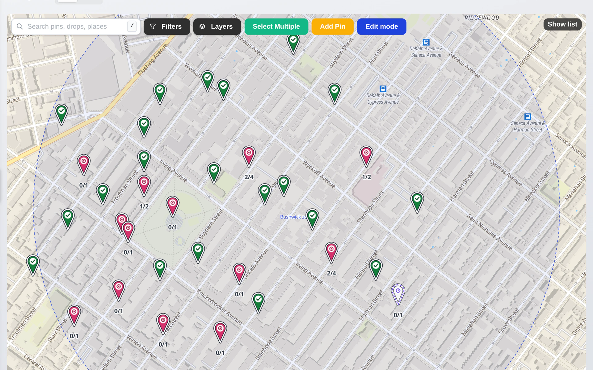
“What counts as proof?”
Scan the code, take the photo
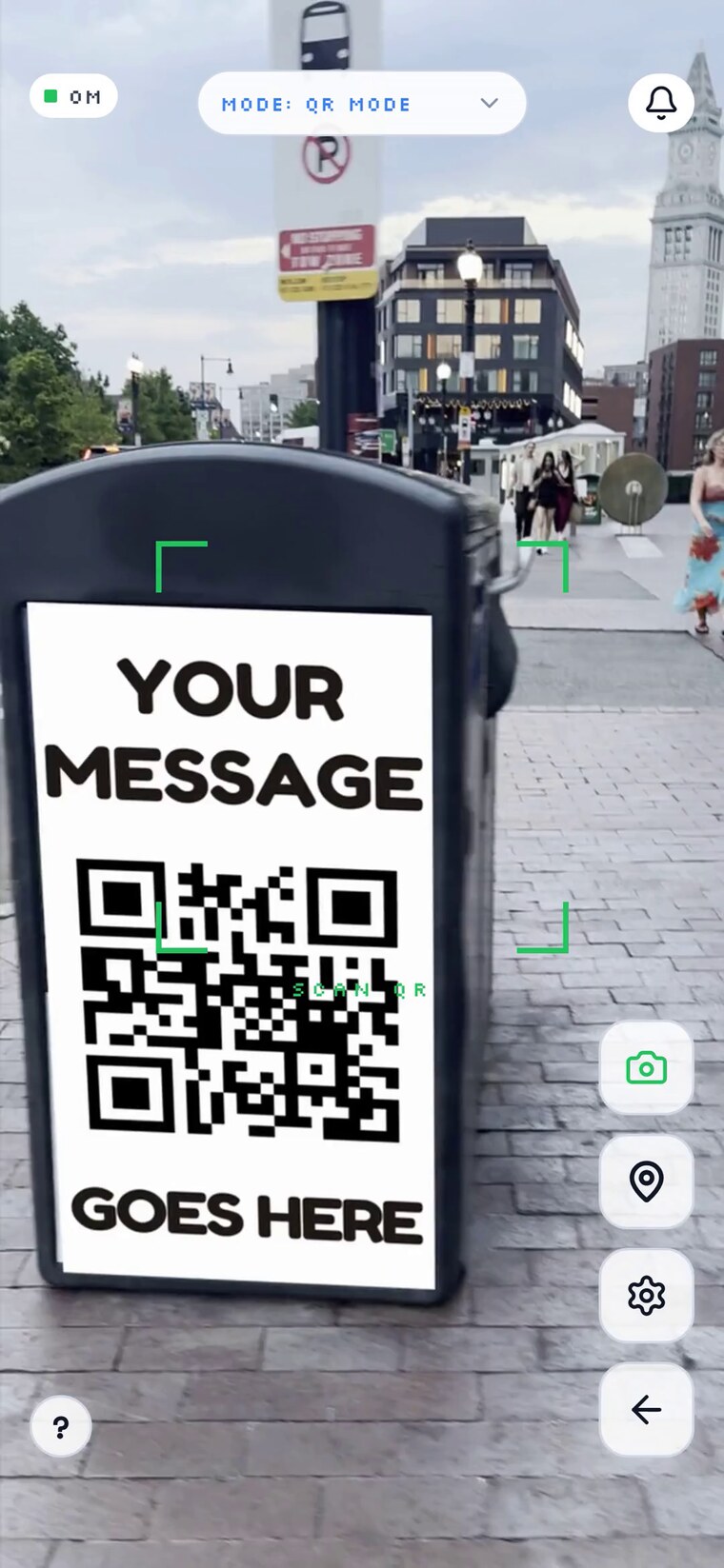
A drop is whatever a crew member logs on the ground: a poster going up, a canvass stop, a spray-chalked display, a handout, and more. The photo is GPS-locked, accurate to within a few meters in good conditions, and the location locks at the moment the shutter fires. When the material carries a QR code, the scan ties the drop to its campaign and design in the same motion. The outdoor advertising industry calls this proof of performance, or POP: a located, dated photo showing the assignment happened where and when it was supposed to. If you hired a flyer distributor or a leaflet crew, this is the proof of delivery to ask for.
- A drop assigned to a Spot is checked against the spot's coordinates
- Geofences flag or reject drops outside the zone
- Location is captured during the shot, not added later
“What happened at the location?”
Each drop leaves a trail
A drop carries a timestamp, GPS coordinates, and a photo, whether it logged a poster drop, a canvass stop on a doorstep, or a handout. You can see what was done, where, and when. So can anyone you share it with.
The message
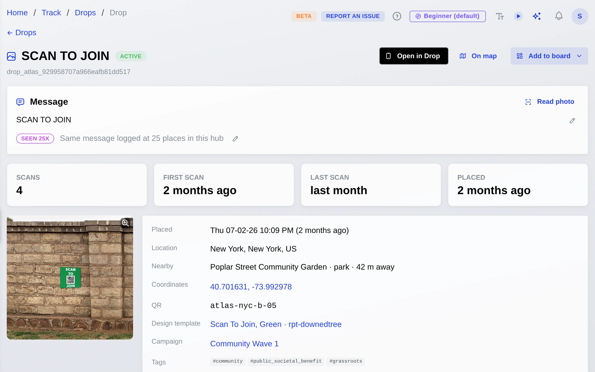
TraceReach reads what the piece says.

The same drop as above: its sticker read into words, sighted at 25 places.
Print, handwriting, and chalk come off the photo, and a QR code the camera missed is recovered with them. A scanned drop carries its design's words, read once at the artwork. Your correction outranks the machine read, and the same message logged at several places groups on the map with a running tally you can search and filter by medium.
Geofence
An assigned Spot Drop is held to its spot's location.
Strict mode rejects drops taken outside the zone; soft mode accepts them and flags them for review. You choose the trust level per hub.
“What happens when there's no signal?”
Log offline, sync later
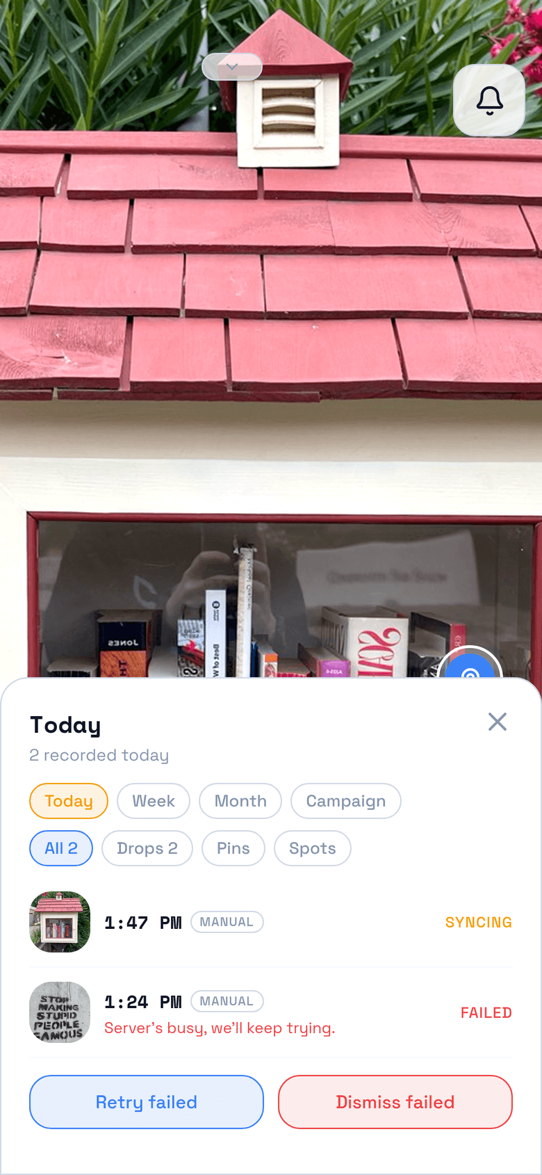
TraceReach Drop keeps working with no connection. Photos, GPS, and timestamps save locally, and the queue syncs as soon as signal returns. A drop that fails to upload keeps its place in the queue, with its error and a retry button, so the record survives the dead spot.
“Which locations came through?”
Read the response, then go again
Where the material carries a QR code, scans come back to the map as they happen. Hot corners show up, quiet ones do too, and the next round of spots starts from what this one showed.
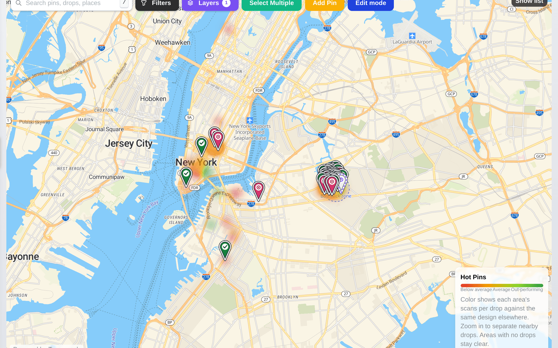
TraceReach records where a Drop occurred. A Drop is a logged campaign activity, and its coordinates describe that activity. TraceReach does not continuously track the location or movement of your crew.
Read what TraceReach records →
TraceReach is operated by TraceReach LLC.
Once the drops are logged, the record keeps working:
Start the next run from what this one proved.
Scans, page actions, and video plays trace back to the design and the place behind them.