GPS-Verified QR Placement
Prove the work at the moment it happens.
TraceReach verifies the Drop itself: a canvasser takes a GPS-locked photo when the work happens, and later scans, visits, and actions attribute back to that geocoded campaign record.
Most QR and link tools infer location from the phone that scans, so the "campaign location" is the rough city of a passing handset. TraceReach verifies the Drop itself: the canvasser takes a GPS-locked photo when the work happens, accurate to within a few meters in good conditions, and the place, date, asset, assignment, team, and campaign stamp onto that record.
Scans that follow attribute back to that geocoded record, so the map shows the verified spot. The same record is your proof of placement: the photo proves the work on the ground, and the engagement reads back off it.
“Where did this assignment happen?”
The field record is the verified entity
Each field record has its own coordinates, locked by a photo at the moment the shutter fires. The location lives on the record, not on the phone of whoever happens to scan later. You see the verified location and date in the campaign operating view.
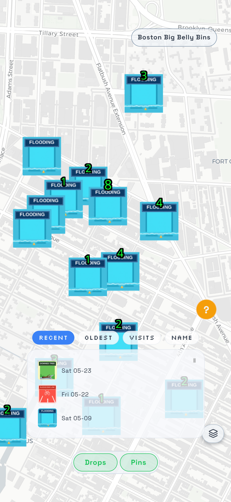
“Which spot earned the scans?”
Engagement blooms on the geocoded record
When someone scans the code or follows a short link, the interaction ties to the field record it came from, so engagement lands on the verified spot and a heat overlay blooms where response runs hot. You compare street against street on coordinates captured at the drop before assigning the next run.
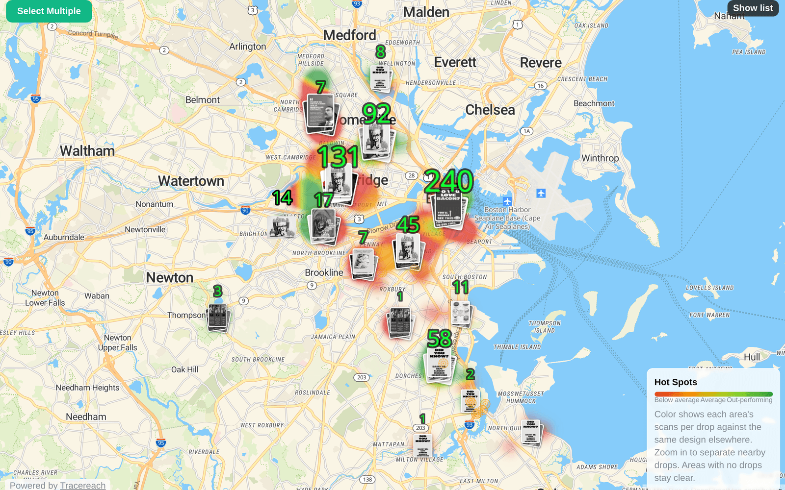
“What about a piece with no QR code?”
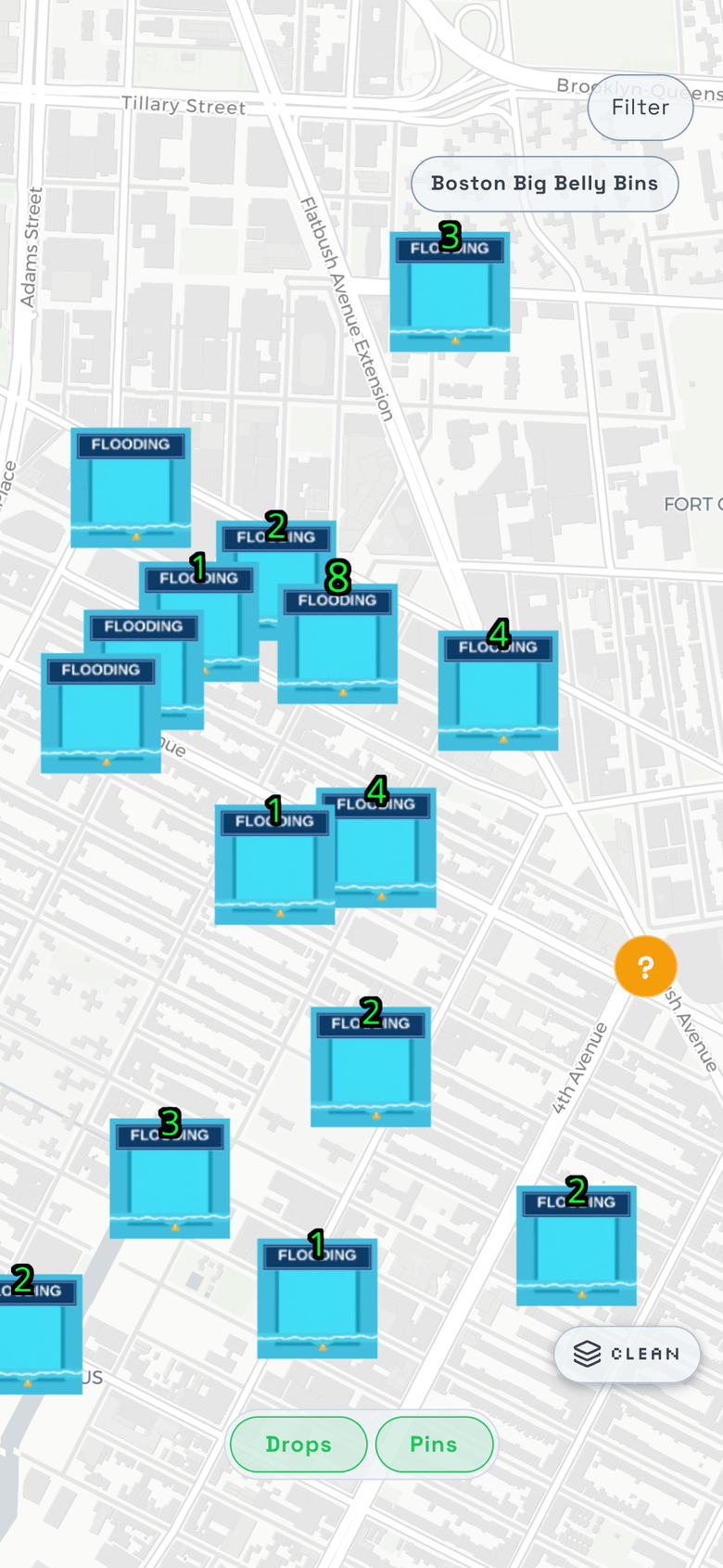
It still earns a verified record
A yard sign, a stencil, a spray-chalked display, a banner with no QR earns the same GPS-verified record, and so does a canvass stop that places nothing at all. The work is proven by its photo and coordinates whether or not a scan ever follows, so the campaign map holds the whole operation, not only the assets that get read.
Verified Drops are the foundation. See how the record reads out across proof, attribution, analytics, and the broader campaign loop.
Prove what happened on the ground.
TraceReach is in closed beta. Tell us about your campaign and we will set you up.
Request access